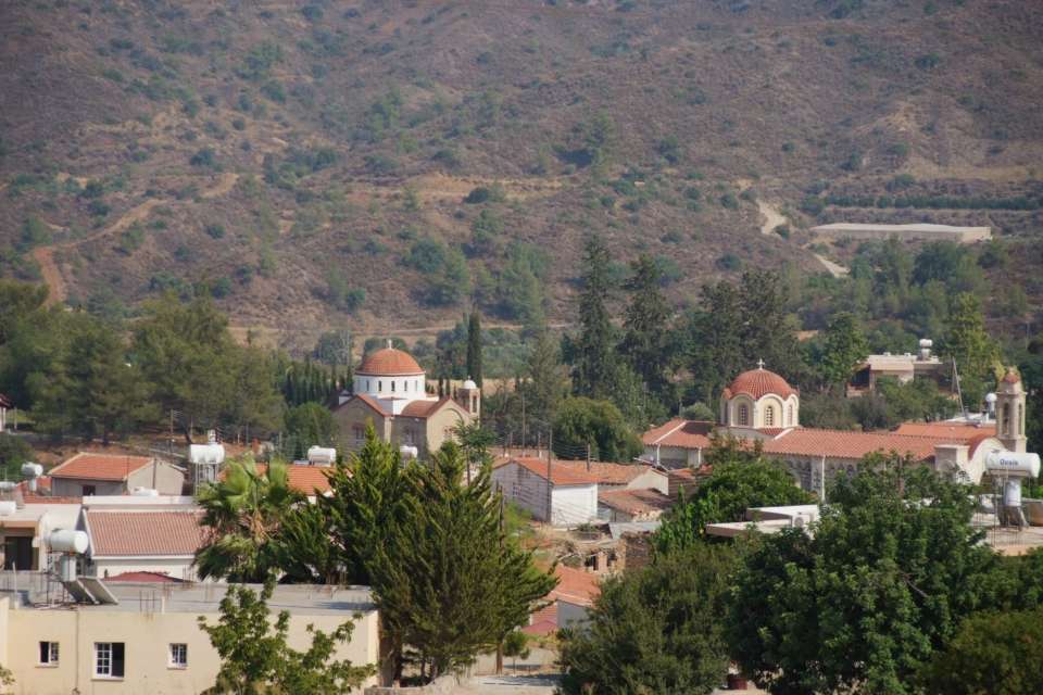
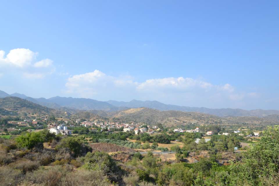
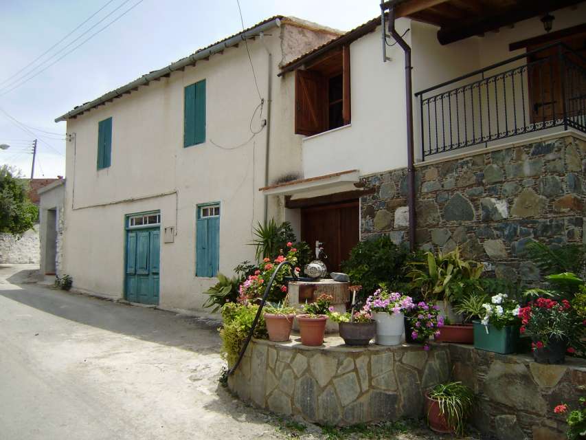
Eptagonia is a Greek Cypriot village of the District of Limassol. It is located approximately 28 km northeast of Limassol, on the foothills of mount Papoutsa and it falls within the geographical region of Pitsilia. The village is located in a semi-mountainous area which is surrounded by high mountains, on an altitude of 475 m above sea level, and which is “dressed” in green colours in both spring and summer.
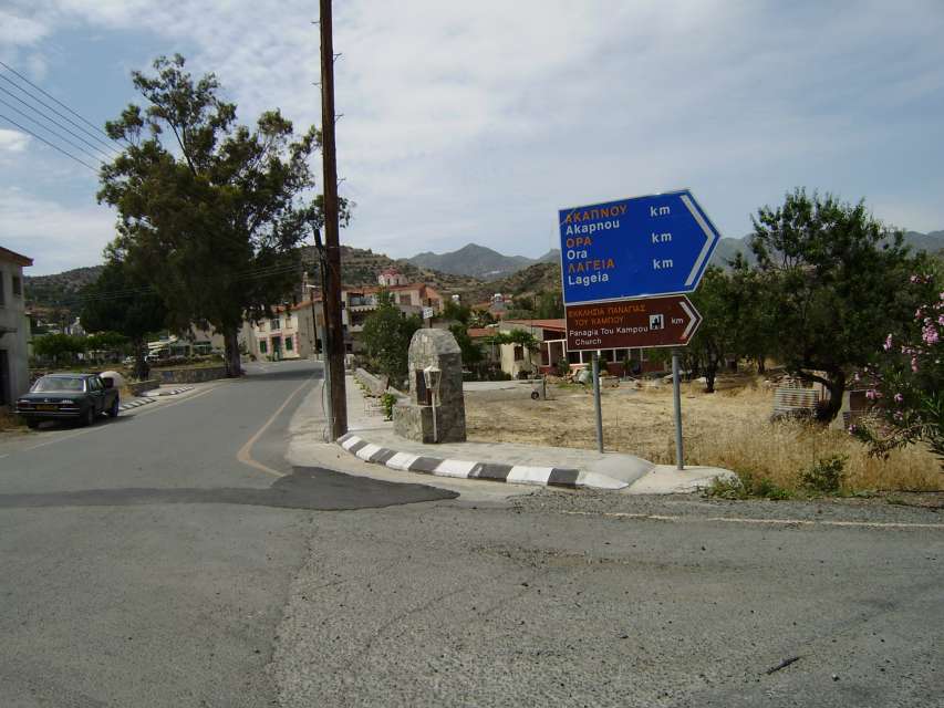
The community of Eptagonia is served by a satisfactory road network. Towards the south it is linked to the highway leading from Limassol to Nicosia, via the village of Parekklisia, while it is also connected with the village of Melini towards the north, the village of Arakapas towards the west and the village of Akapnou towards the east, all enjoying asphalted roads.
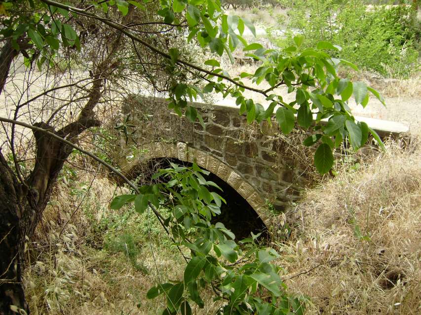
The huge fault line of Agios Mamas and Arakapas has greatly affected the morphology of the village. However, what is particularly distinctive in the area of the fault line is the rectilinear formation of the river network of Germasogeia and the King river. The landscape of the village is separated by the tributaries of these two rivers.
According to a particular version, the village was named like this (the name is a compound word consisting of the Greek words “epta = seven” and “gonia = corner”) because of the fact that the formation of the ground in the area is characterized by several corners. The number seven (epta) is used to emphasize the existence of the corners. However, according to a second version, the village was named after the seven neighbourhoods of the community at the time.
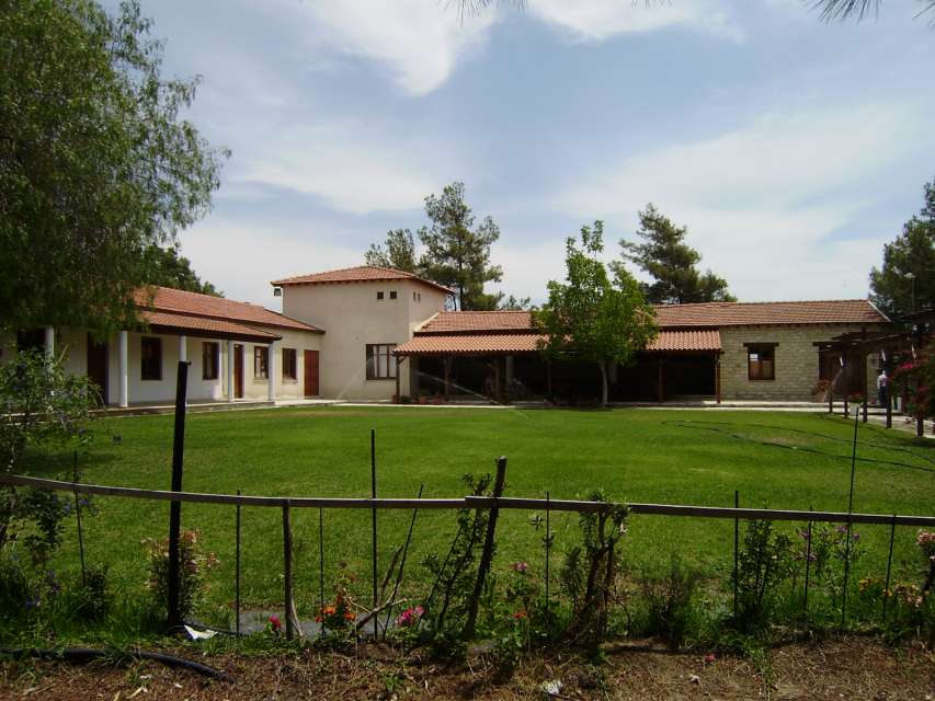
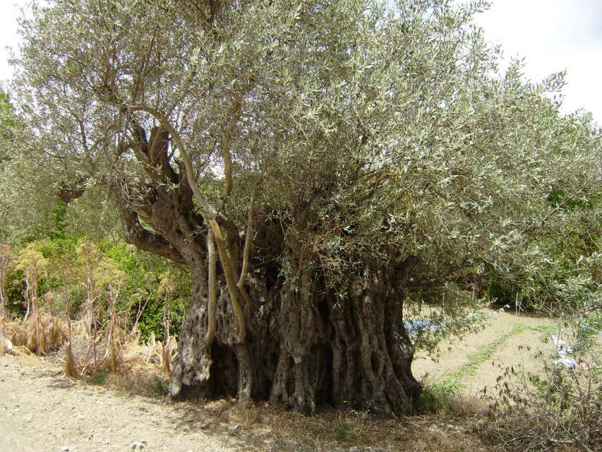
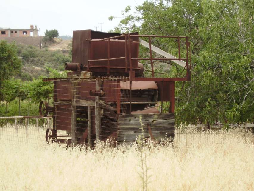
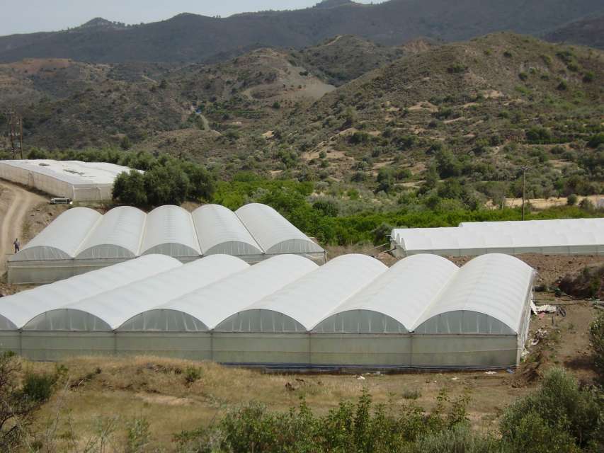
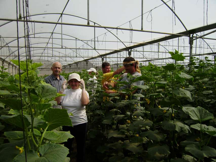
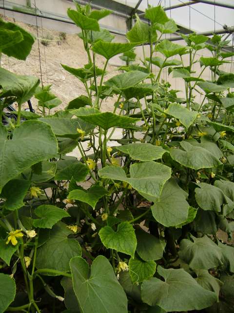
Eptagonia receives a mean annual rainfall of approximately 630 mm. As a result, its land is used for the cultivation of citrus fruit (mandarins and oranges), olive trees, almond trees, carob trees and grains, as well as wine grape varieties. On the other hand, live-stock breeding is quite limited.
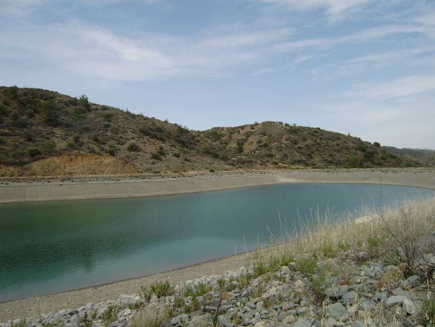
Eptagonia is included in the Unified Rural Development Scheme of Pitsilia and has benefited from the construction of improvement works such as the bituminization of the road leading from Eptagonia to Arakapas and the construction of four earthen water reservoirs which have contributed to the expansion of the irrigated expanses in the village. Moreover, Eptagonia has been chosen to house the “Iamatiki” regional primary school serving the needs of Eptagonia, Arakapas, Dierona, Kellaki, Sykopetra, Prasteio and Akapnou. Today, the regional primary school is attended by children coming from all the villages of the area.
The village has experienced significant population fluctuations. In 1881 there were 316 residents, which increased to 385 in 1921 and 470 in 1946. As of 1946 a constant decrease of the population has been observed due to the urbanization that struck the villages of the Pitsilia region. In 1973 the village had 355 residents, which decreased to 289 in 1982. Today the community numbers approximately 350 residents who have chosen to remain in their village despite the daily difficulties they are facing.
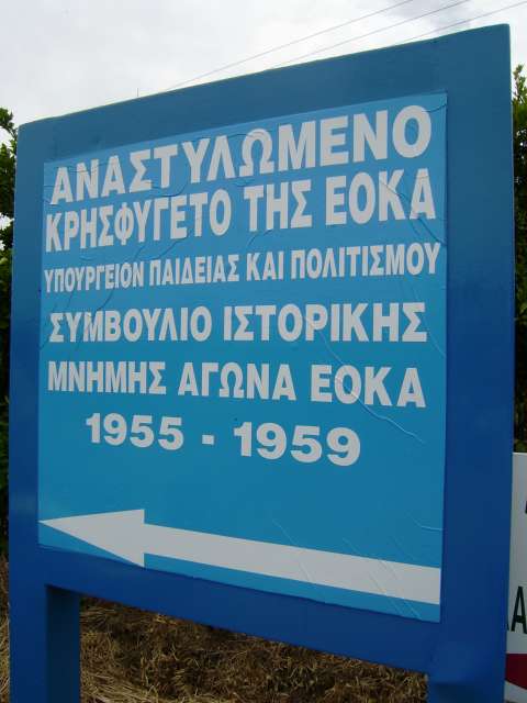
Eptagonia has been known since the Frankish occupation. Originally it was an estate of the Templar Knights in Cyprus. After the order of the Templar Knights ceased to exist, Eptagonia became property of the Hospitaller Knights who were headquartered in Kolossi and the village was one of the villages of the Great Commanderie. Eptagonia is marked on old maps as Astagonia.
|